Project Page RBD
Can the Bay Area be resilient by design?
Resilient by design
SITELAB urban studio partnered with landscape architects, architects, scientists, artists, academics, economists, community organizers, ecologists, and engineers to form team “Common Ground,” led by Tom Leader Studio, as one of the ten design teams selected by Resilient by Design Bay Area Challenge to explore innovative solutions to sea level rise (SLR) and resilience issues.

Location / Date:
San Pablo Bay / 2017-2018
Status:
Completed
Site area:
60 square miles
Client:
Resilient by Design
Design Collaborators:
Tom Leader Studio, Exploratorium, Guy Nordenson & Assoc, Michael Maltzan Architects, HR&A Advisors, Lotus Water, Rana Creek, Dr. John Oliver, Richard Hindle
In the News:
project website
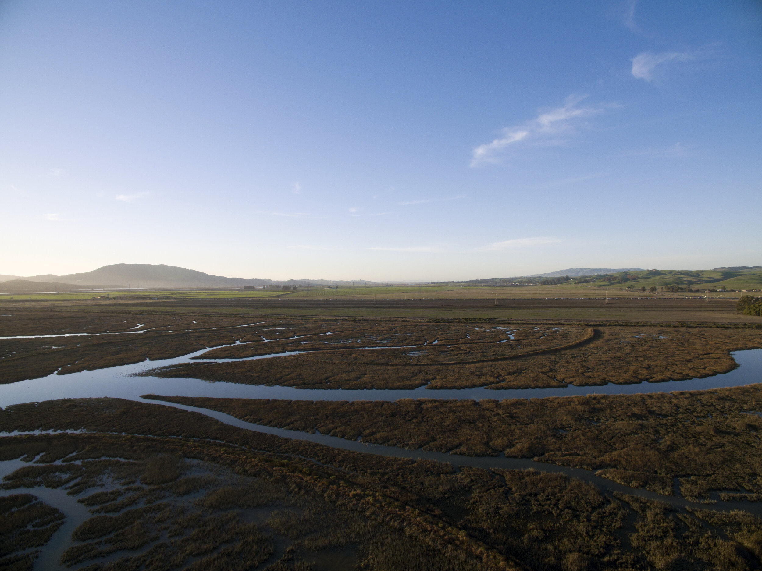
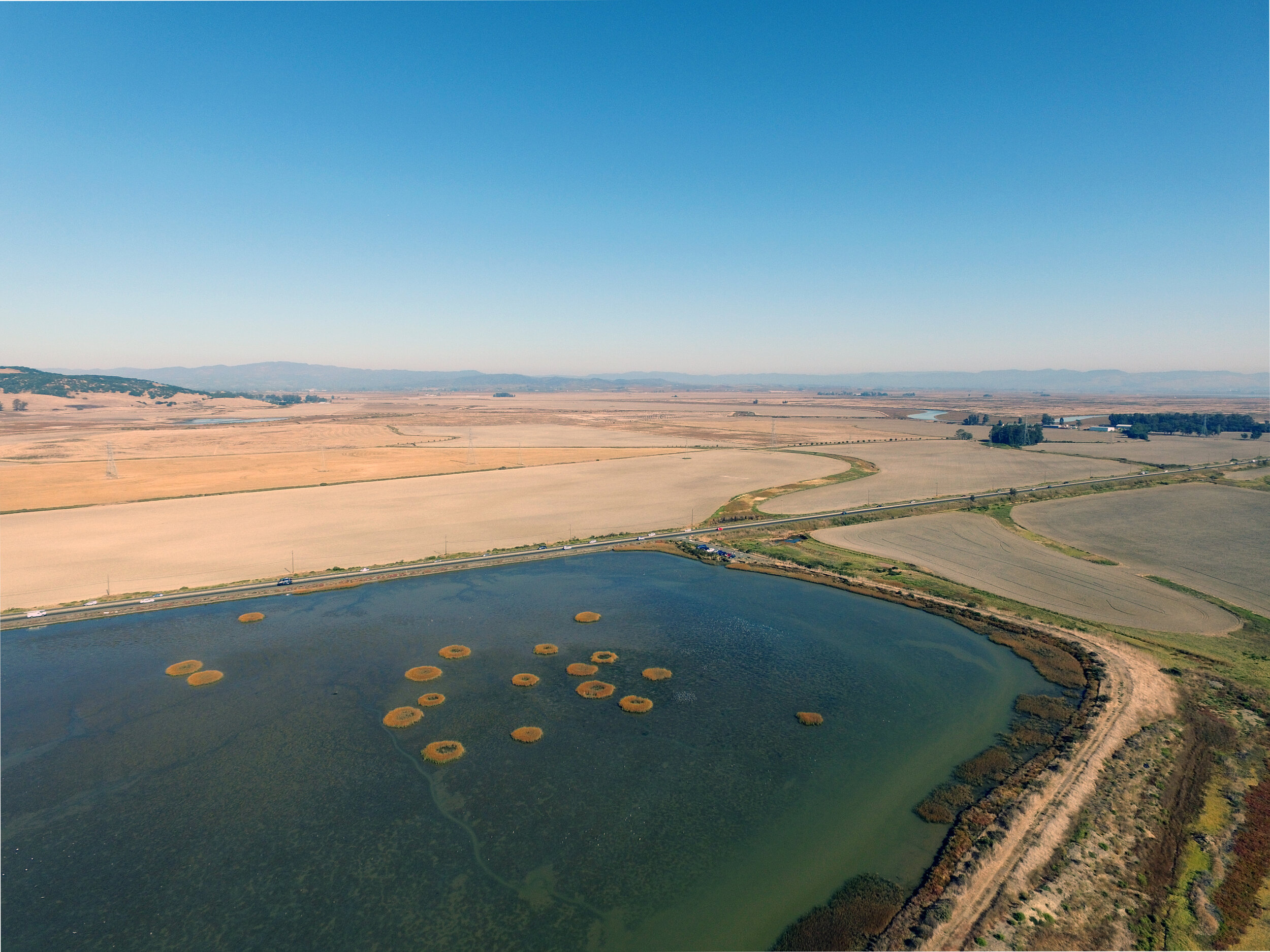
Common Ground focused on the San Pablo Baylands, a complex landscape of marshes that are bounded by Sears Point and Tolay/Sonoma Creek to the West, Napa River and the northern tip of Mare Island to the East, Route 12 to the North, and State Route 37 to the South.

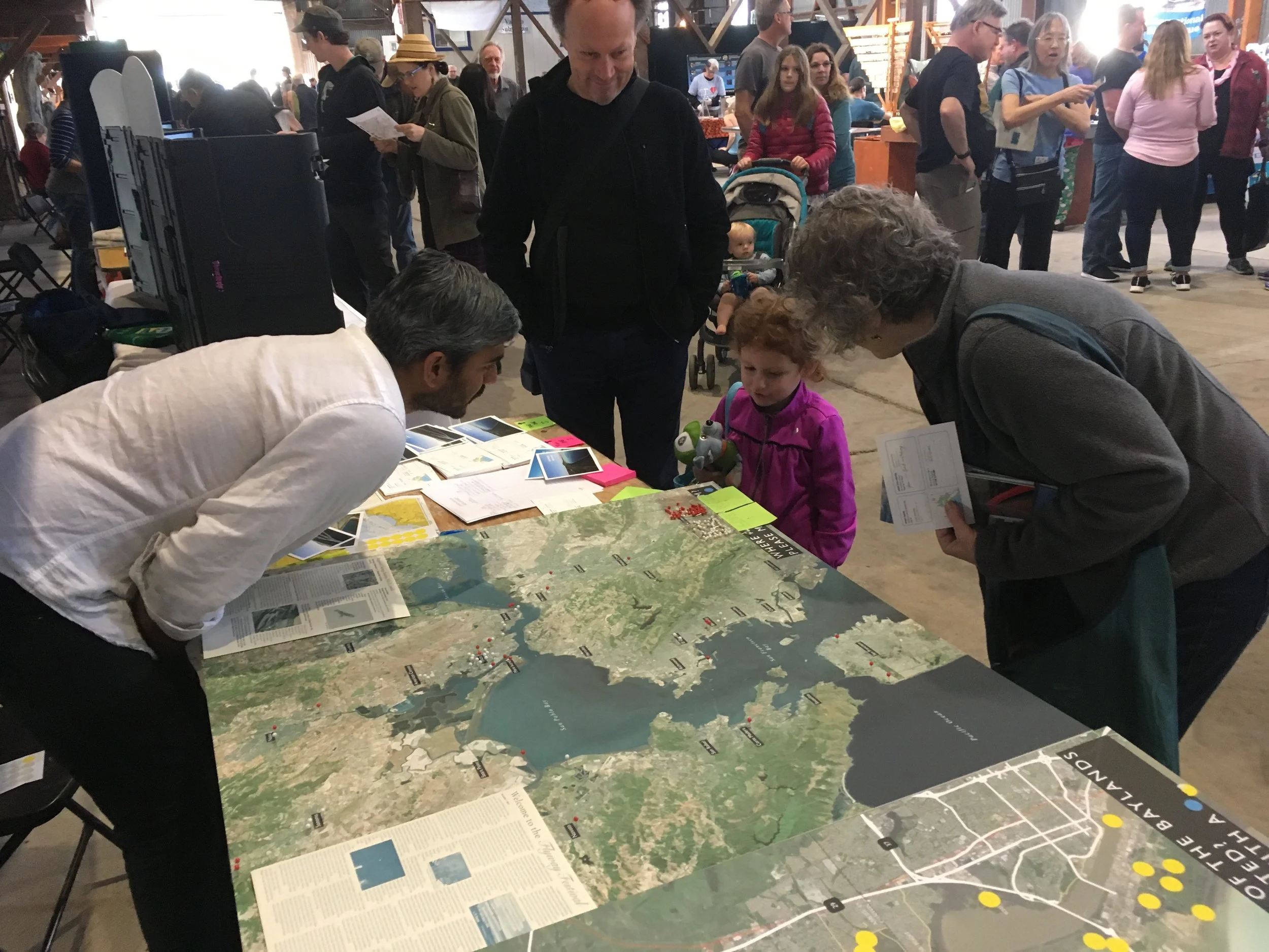
Community Engagement
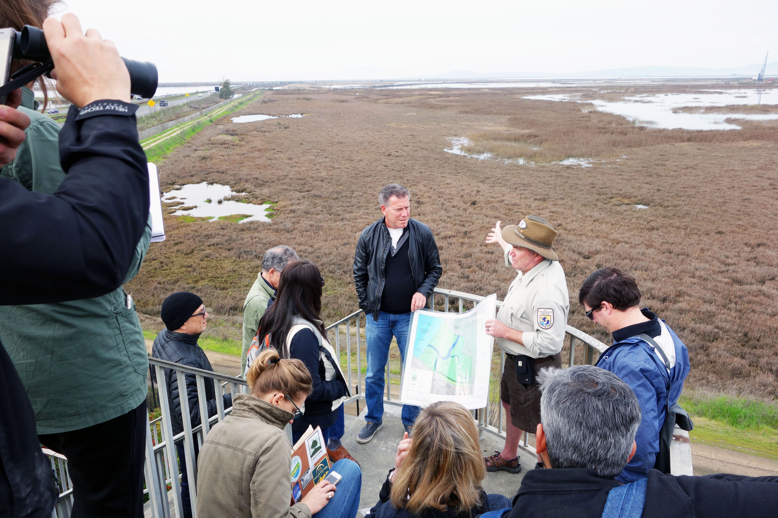
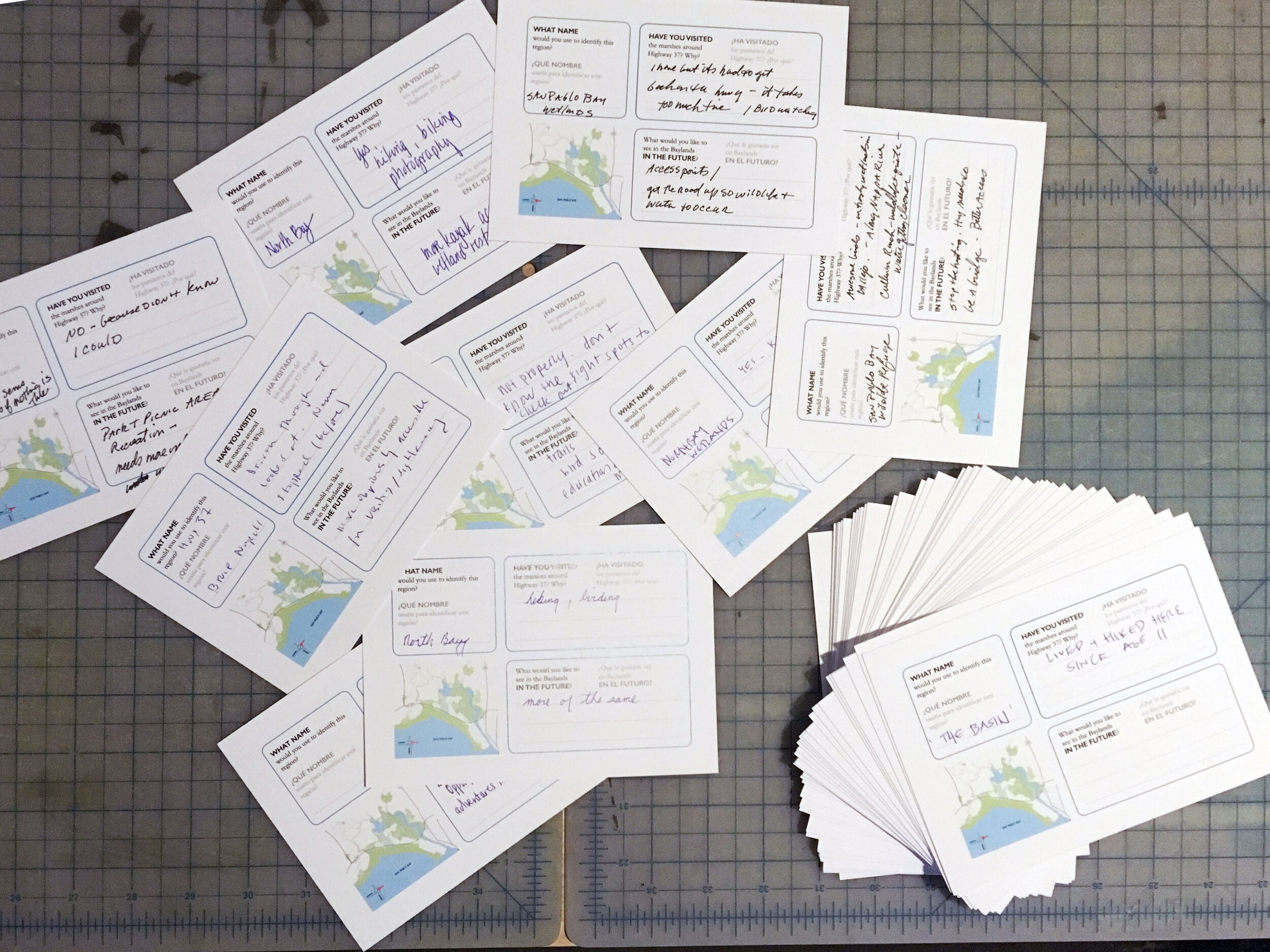

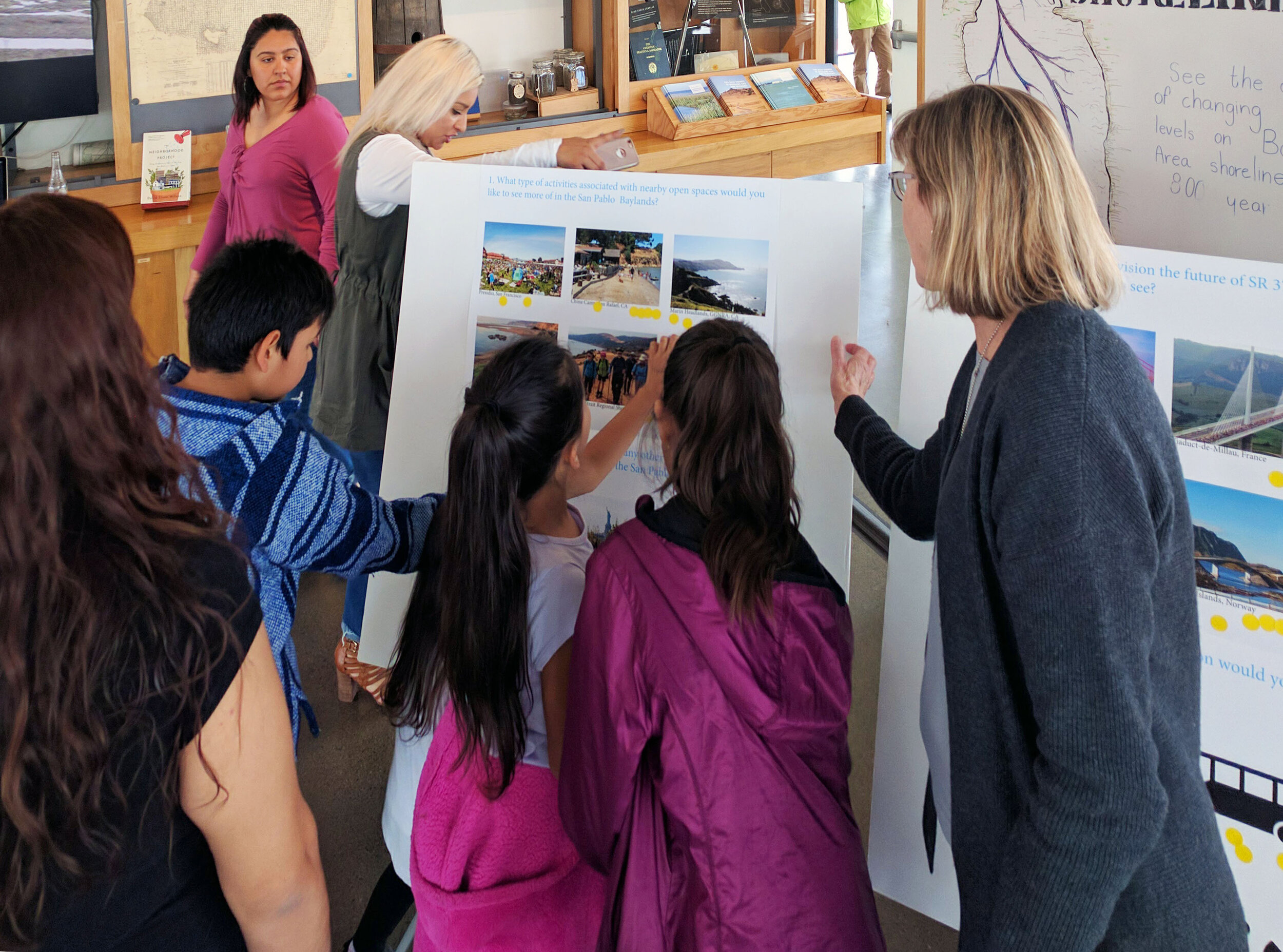

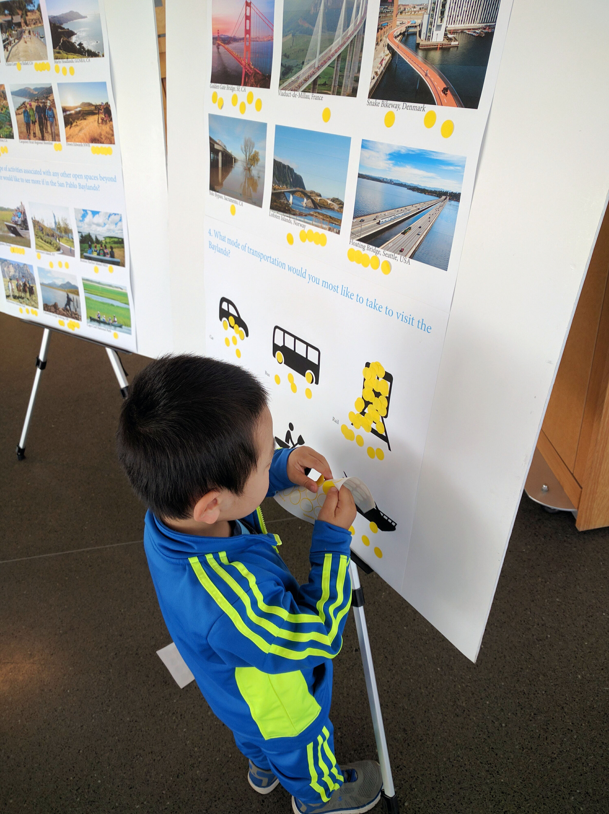

SITELAB led the community engagement process and urban design strategies. With SLR adaptation as the primary driver for transformation of this site, SITELAB and team fostered the relationships and developed strategies to strengthen the identity and legibility of the Baylands as a regional ecological resource, address regional multi-modal connectivity between adjacent counties, and prioritize public investment to address these critical issues in a holistic way.

Concurrent to conducting an exploration of sediment dynamics for marshland restoration, the team’s vision for the Baylands stems from established goals from neighbors and stakeholders from Solano, Sonoma, and Napa counties to craft a collective vision to create a resilient network throughout the North Bay region.
Various efforts are currently underway in this region, including overall marshland restoration and planning efforts to rebuild the continually flooded State Route 37, which is predicted to be inundated by 2100.
